


City Map of Washington D.C. Vintage Poster Print on Matte Paper Decorative Antique Wall City Map Decor Online Sale
Description
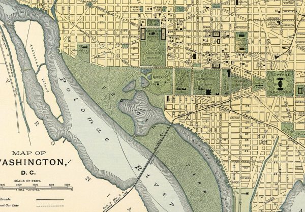
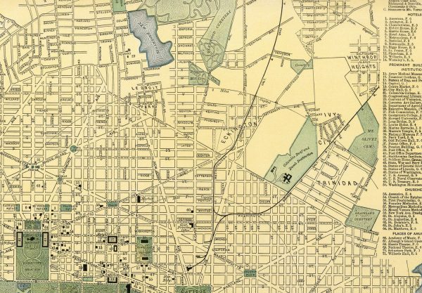
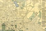
Map of Washington 1891
This 1891 map of Washington shows railways, street car lines, city blocks, parks, and includes numerical references to various points of interest, city s major buildings, hotels, and churches. It was part of the Library Atlas Of Modern Geography, published by D. Appleton and Company, NY.
Our Vintage Map prints come in multiple sizes on Archival Epson Enhanced Matte Paper. They are made with a 1 8 inch white border.
*FRAMES ARE FOR DISPLAY PURPOSES ONLY AND ARE NOT INCLUDED WITH THIS PRINT*
Available in 3 sizes:
16×20 inches – $25.00
24×30 inches – $45.00
36×45 inches – $85.00
All maps are shipped rolled in a rigid tube.
Shipping info:
Please allow 3-5 days before shipping as our products are made to order. We offer free shipping on orders of $35.00 or more.
Additional Information
| Size | 16×20, 24×30, 36×45 |
|---|